
3D Cuboid & Bounding Box Annotation
Precise 3D oriented bounding boxes (x, y, z, length, width, height, and yaw/pitch/roll) fitted to static and dynamic objects across raw point clouds for spatial perception models.
3D perception depends on more than placing boxes around visible objects. LiDAR datasets require consistent spatial geometry, object orientation, class rules, point-level decisions, and frame-to-frame identity management. Josisoft builds 3D annotation workflows around your sensor configuration, taxonomy, cuboid standards, coordinate system, and QA criteria so production datasets remain geometrically consistent across scenes and sequences.
Talk to a Data SpecialistPrecise 3D oriented bounding boxes (x, y, z, length, width, height, and yaw/pitch/roll) fitted to static and dynamic objects across raw point clouds for spatial perception models.
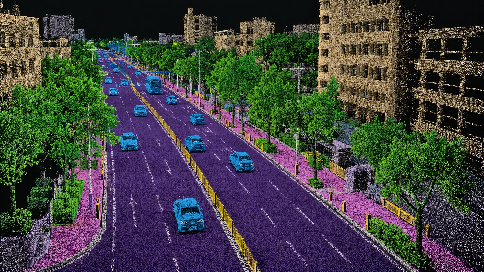
Point-by-point semantic classification assigning environmental class labels (e.g., drivable surface, sidewalks, vegetation, barriers) across dense, multi-million-point spatial point clouds.
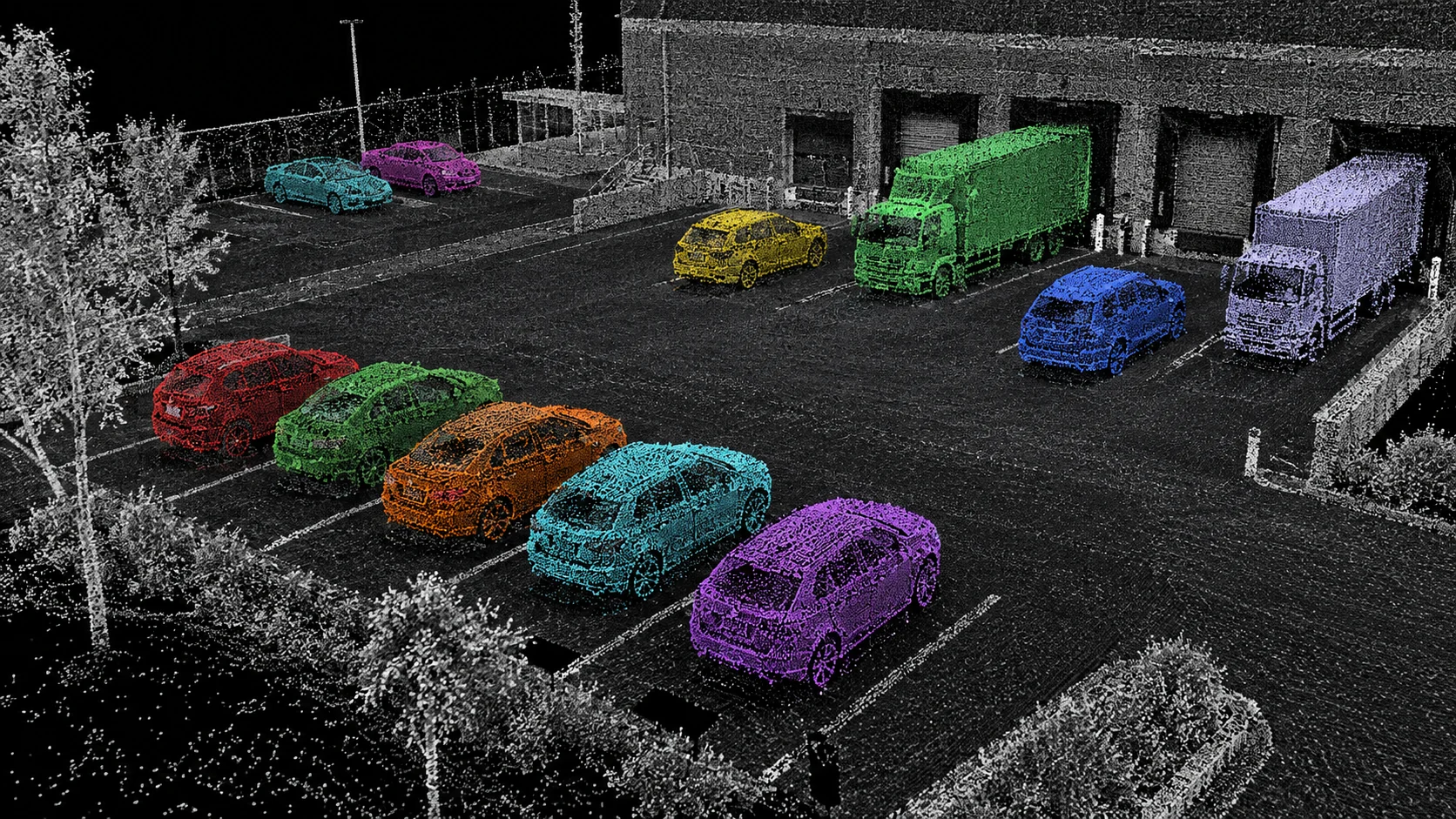
Spatial cluster delineation assigning distinct instance IDs and exact point memberships to separate entities of the same class within dense, overlapping, or cluttered point scenes.
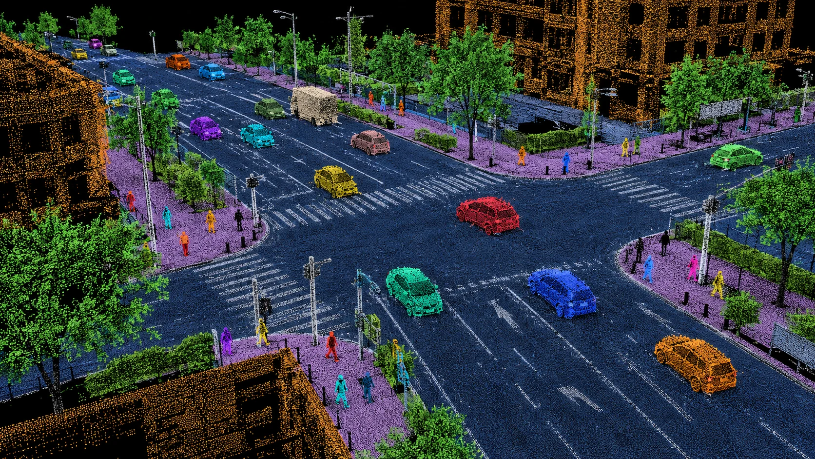
Unified spatial scene parsing combining background surface categorization ("stuff") with individual object cluster detection ("things") for complete 3D environment modeling.

Volumetric discretization converting continuous point clouds into structured 3D voxel grids, annotating semantic occupancy states and free-space geometry for vision-centric perception.
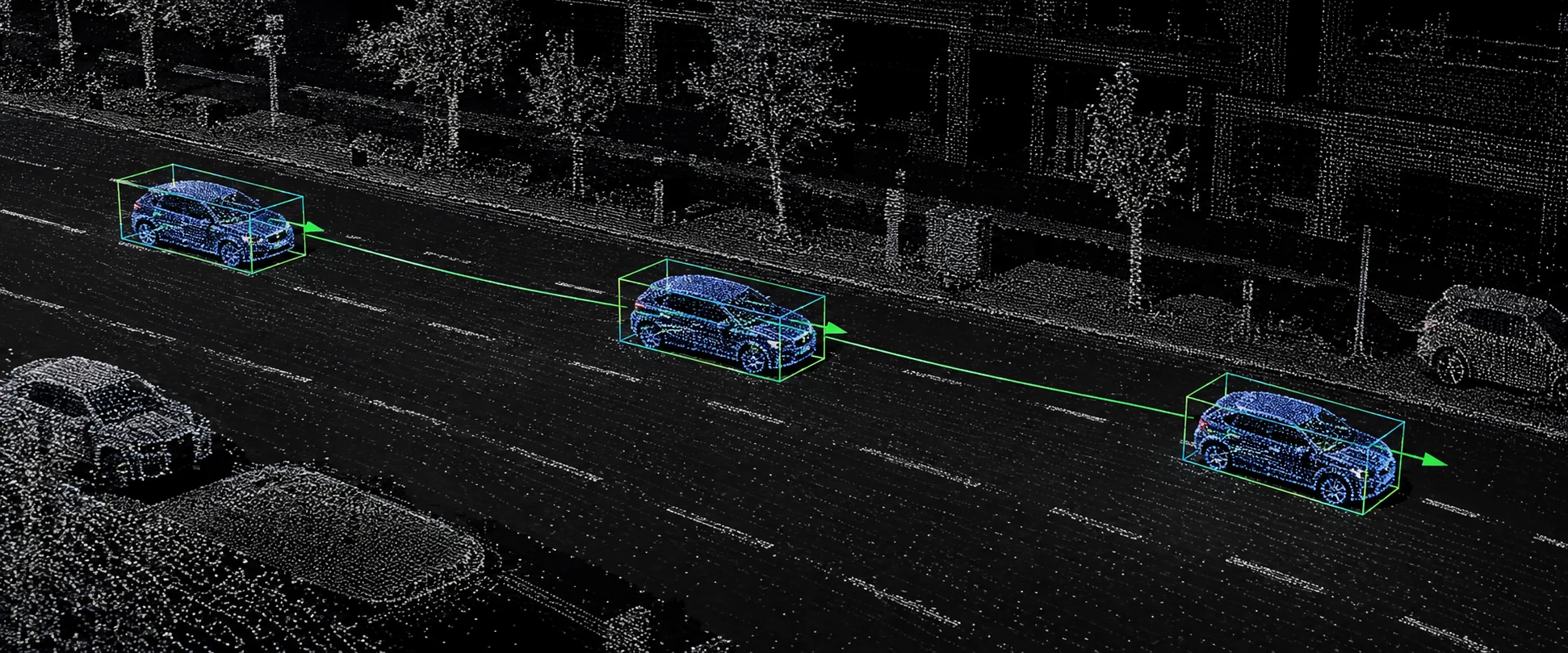
Temporal tracking of 3D bounding geometry across continuous LiDAR sweeps, preserving persistent track IDs, spatial velocity, acceleration vectors, and heading continuity.
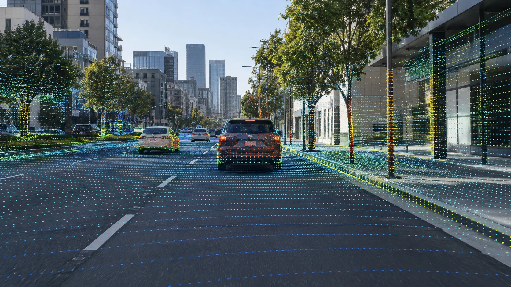
Cross-sensor projection and bidirectional alignment linking 3D LiDAR point clouds with synchronized 2D RGB cameras, thermal sensors, and radar returns with zero spatial misregistration.
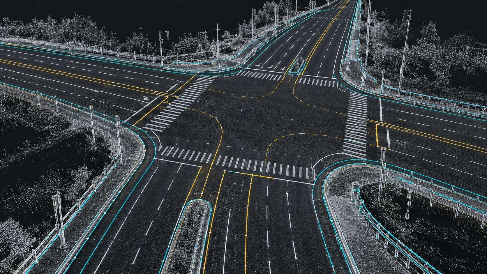
Extraction of 3D spatial polylines and vector splines defining road centerlines, lane boundaries, curbs, guardrails, crosswalks, and utility corridors directly within survey-grade point clouds.
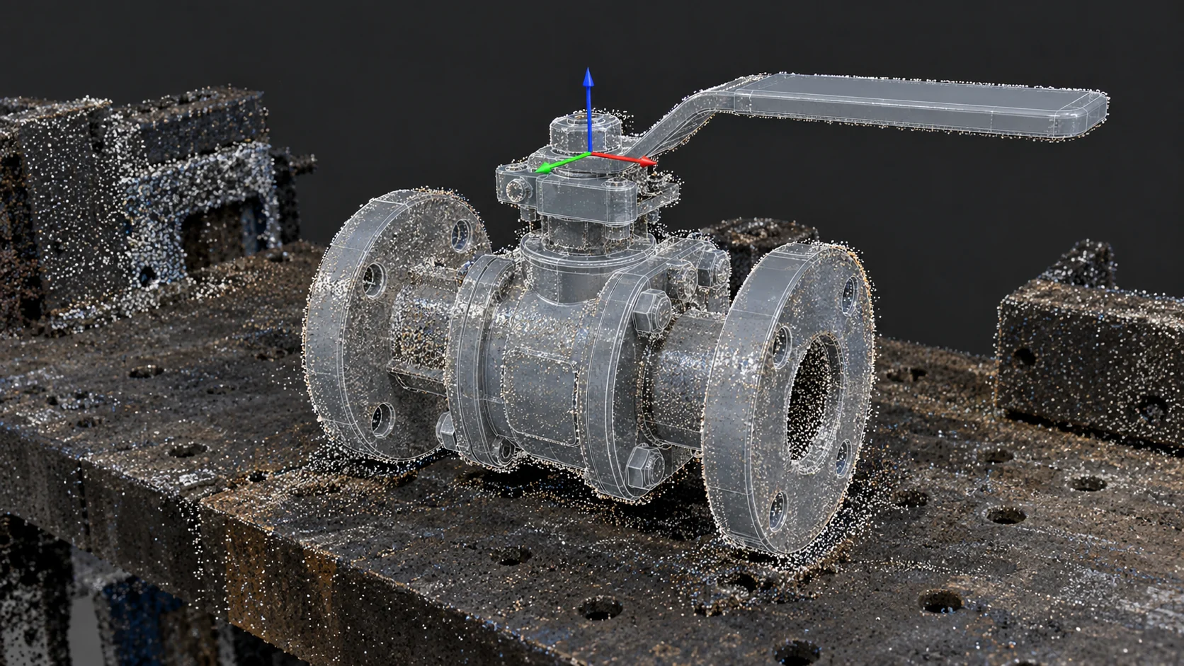
Superimposition and spatial fitting of canonical 3D CAD meshes onto sparse or noisy point clusters to establish precise 6 Degrees of Freedom (x, y, z, roll, pitch, yaw) for robotic manipulation.

Multi-node anatomical joint and landmark tracking in true 3D spatial coordinate space (x, y, z) for spatial XR interaction, humanoid robotics, and biomechanical analysis.
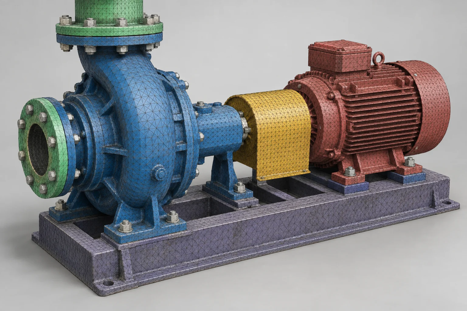
Semantic and structural component labeling applied directly to reconstructed 3D surface meshes (OBJ, STL, PLY) and photogrammetry assets for industrial digital twins and simulation.

Standardized classification of airborne and drone-acquired point clouds complying with ASPRS standards, separating bare earth, vegetative canopy tiers, transmission lines, and building rooftops.
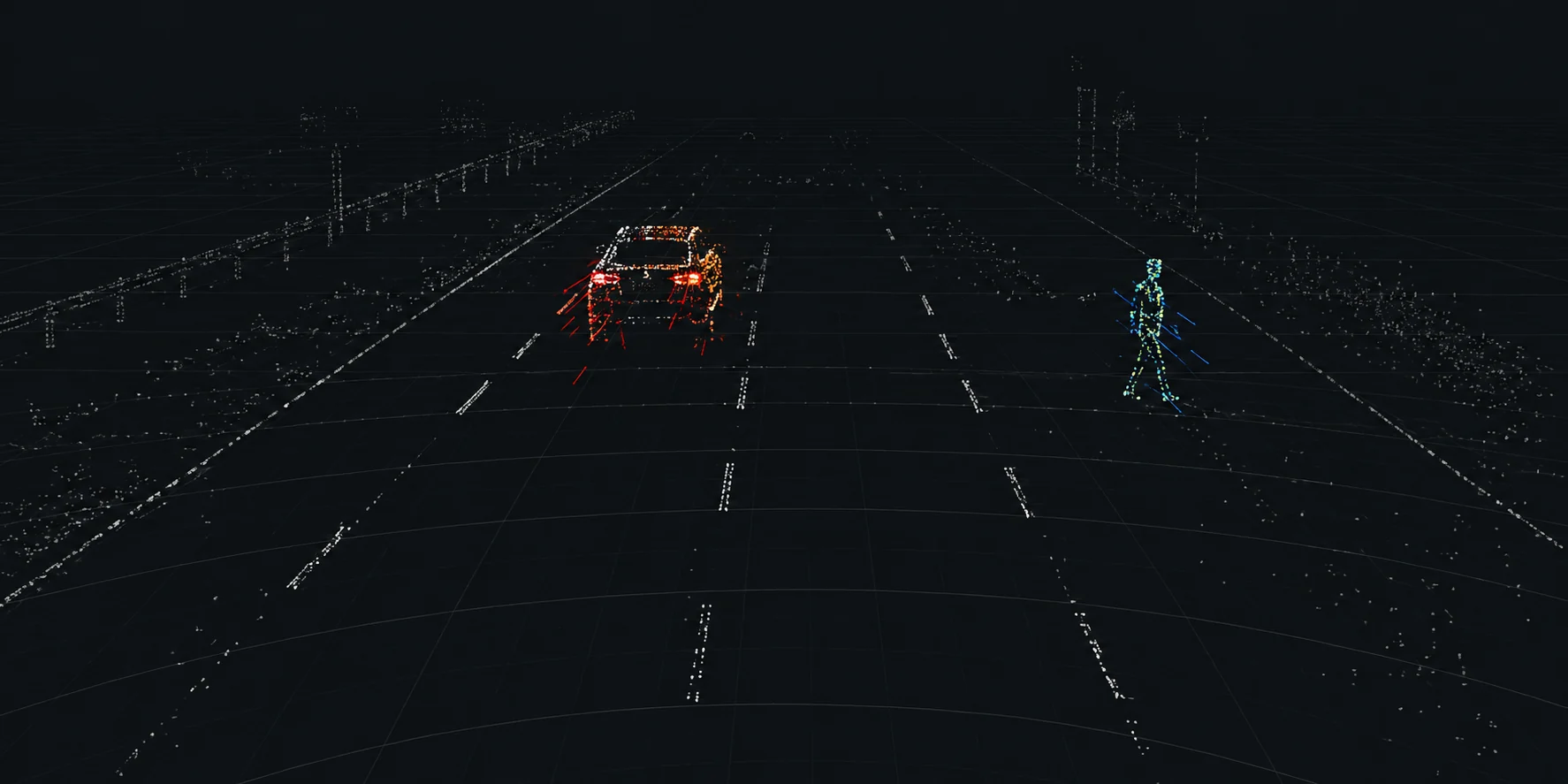
Annotation of sparse 4D imaging radar point clouds, filtering noise artifacts, ground clutter, and tagging range-azimuth-Doppler returns for all-weather perception stacks.
Our 3D annotation teams can work directly inside client-approved environments supporting LiDAR and point-cloud workflows, including platforms such as CVAT, SuperAnnotate, Kili Technology, Segments.ai, Scale-compatible tooling, or other approved 3D labeling interfaces.
Annotators can operate within client-owned 3D labeling systems through approved secure access, following your existing coordinate conventions, cuboid standards, class taxonomy, sensor synchronization, hotkeys, and review workflow.
When no production annotation environment is available, we can configure controlled project workspaces around your point-cloud format, sensor setup, object taxonomy, 3D annotation rules, role permissions, and QA stages.
3D cuboids, point segmentation, object tracking, road users, obstacles, drivable surfaces, and sensor-fusion datasets for vehicle perception and scene understanding.
Annotate people, equipment, obstacles, shelves, industrial objects, navigable regions, and spatial relationships for mobile robots, warehouse systems, and autonomous machines.
Point-cloud classification and 3D labeling for roads, poles, signs, buildings, vegetation, utilities, street furniture, and urban infrastructure captured from mobile or stationary sensors.
3D annotation of machinery, materials, structures, work zones, assets, and spatial conditions for inspection, digital-twin, automation, and site-understanding datasets.
Every annotator, QA reviewer, and project manager signs an NDA before accessing project assets.
Personnel are trained on data confidentiality: strict restrictions on screen sharing, zero tolerance for screen recording or screenshots, and supervised session management.
On-premise operations at our central Durgapur facility enforce controlled local networks, restricted USB and removable media ports, and supervised work environments.
Each client is assigned a dedicated team working in siloed environments, preventing cross-project data contamination and maintaining domain context.
Share a representative point-cloud sample, sensor configuration, class taxonomy, cuboid guidelines, and QA requirements with our delivery team. We will calibrate the spatial rules, annotate a controlled pilot batch, review geometry and edge cases, and return the sample for acceptance before production scaling.